
Collection of Geomatics
History
The rich collection of topographic instruments of the Geomatics sector of the Department of Engineering has very distant origins, considering that the teachings of Geodesy and Topography and Topographic Drawing were activated in the School of Application for Engineers and Architects in the academic year 1867-68 in the former Convent of the Martorana.
It constitutes a collection that accompanies the development of science in the panorama of Earth Observation, currently called Geomatics, which collects the legacy of Topography and Cartography, extending its potential to recent technological developments, such as GNSS, Remote Sensing, digital photogrammetry.
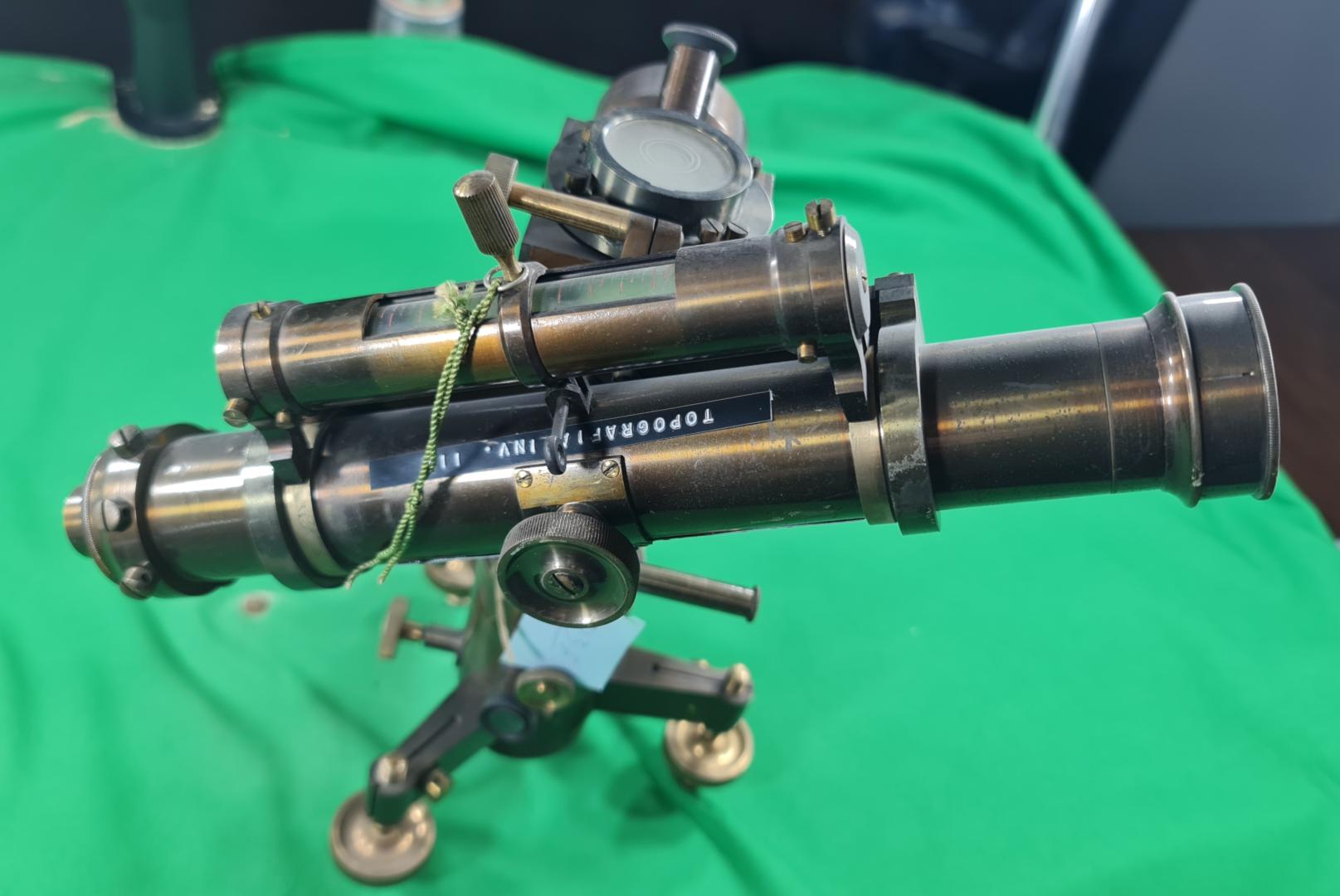
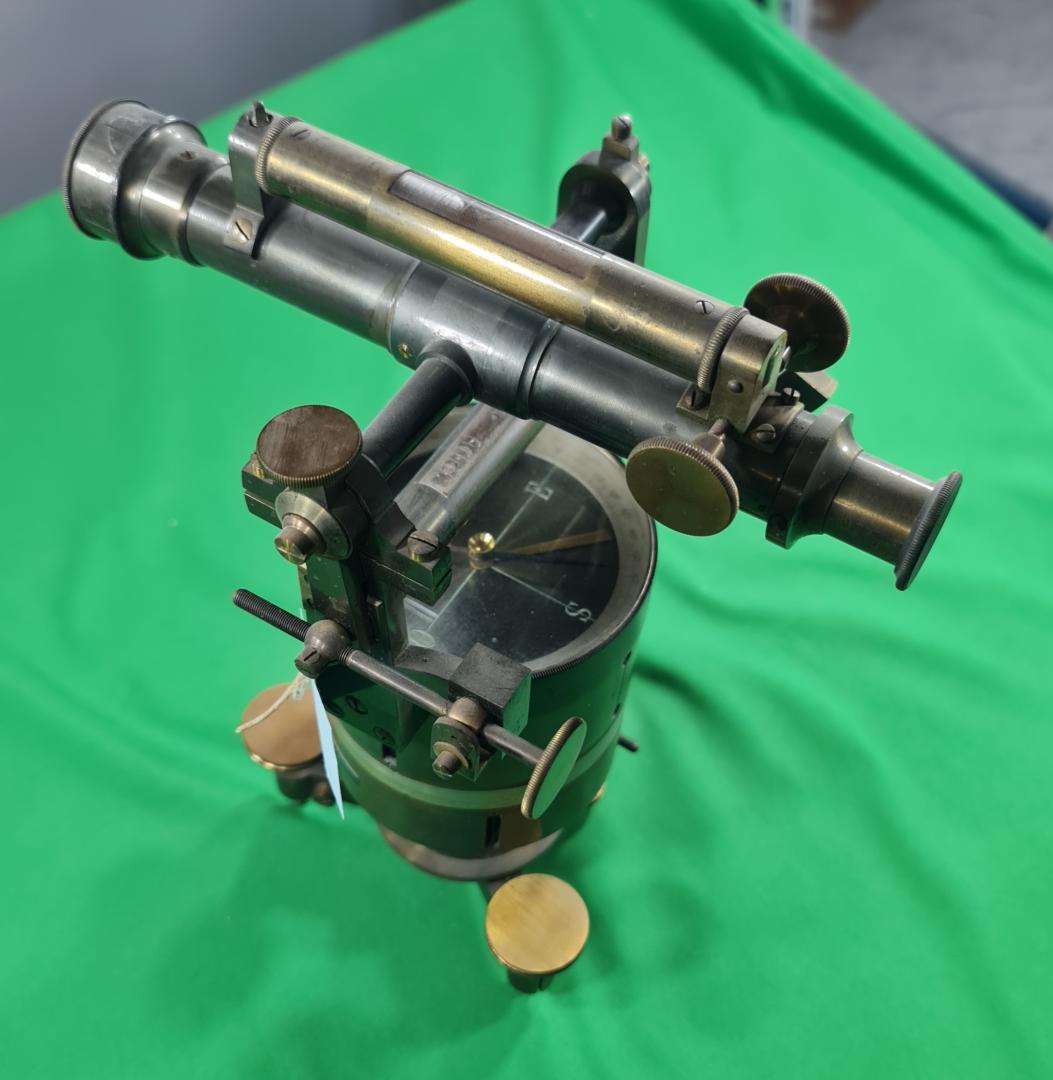
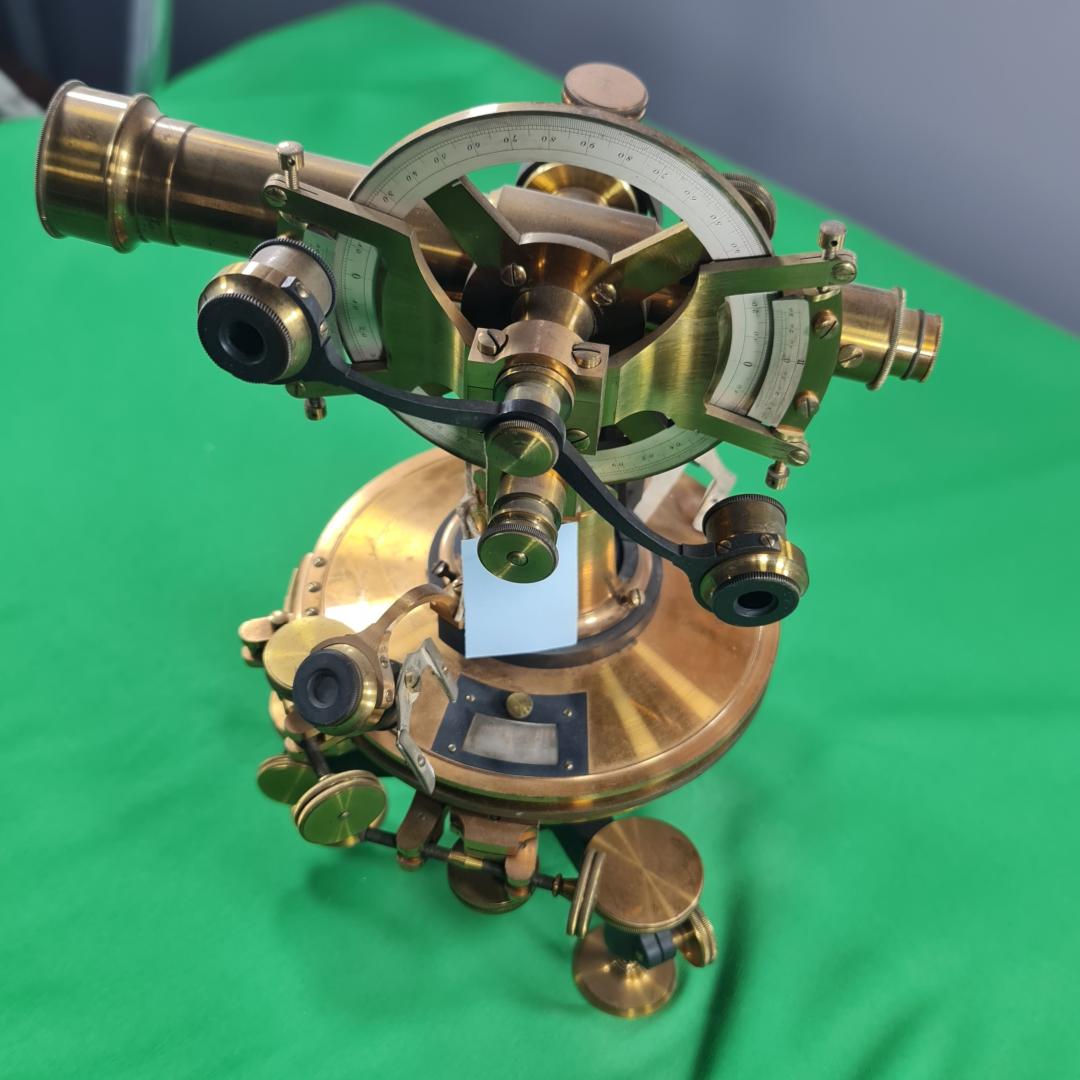
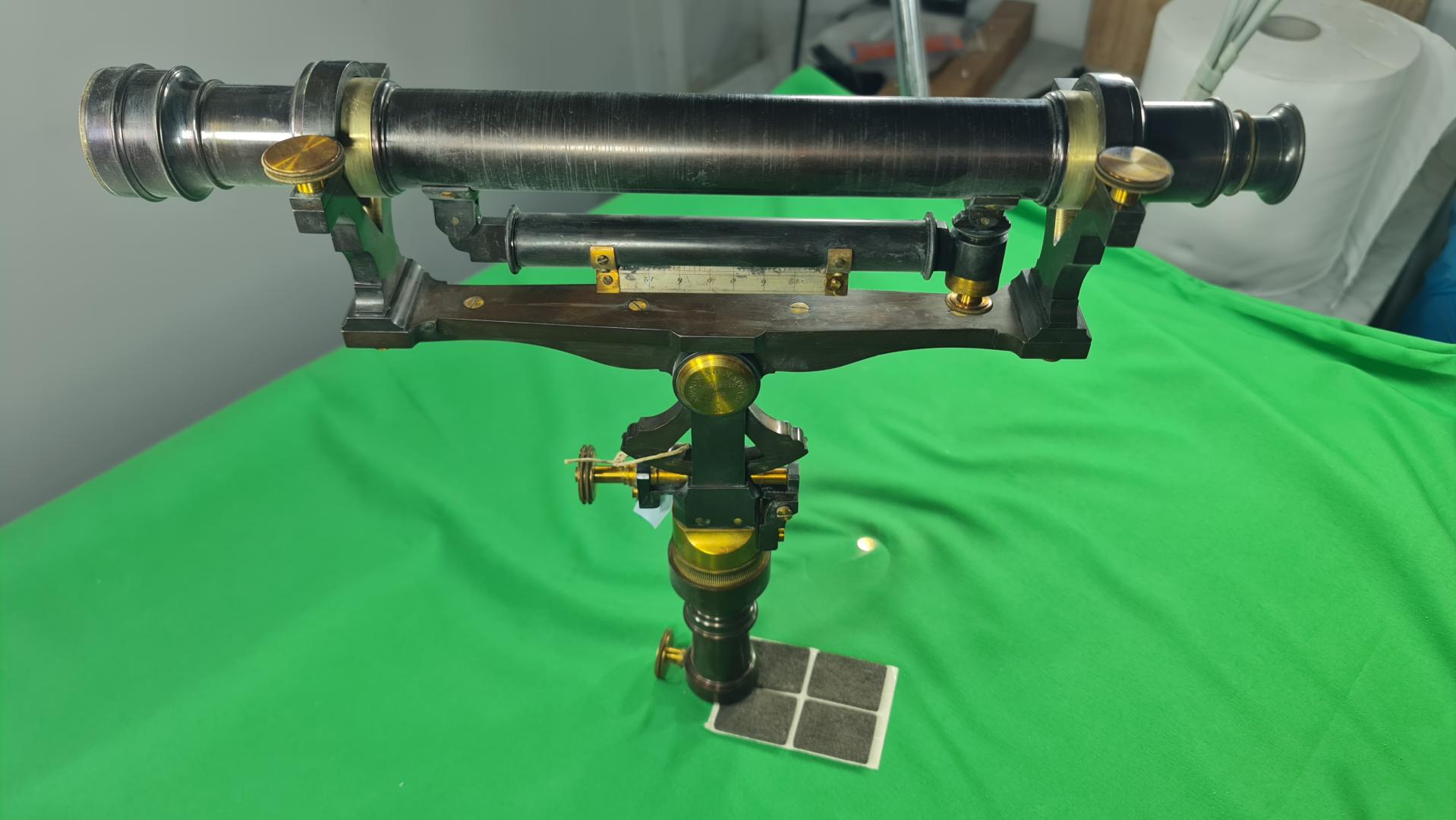
The collection includes about 200 topographic and photogrammetric instruments of the optical-mechanical type produced up to the 1960s, before the electronic-digital turning point that completely transformed the instruments and methodologies of the survey sector. A systematic cataloguing effort has recently been started, aimed at creating a museum exhibition itinerary and a virtual topographical museum accessible online.


Address
Viale delle Scienze, Edificio 8 - 90128 Palermo
Follow Google Maps
Plan your visit
The collection can be visited upon reservation only
No ticket
For information and reservation write to gino.dardanelli@unipa.it